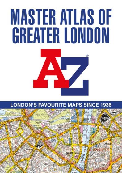
Navigating London's Labyrinth: The A-Z Master Atlas - Your Ultimate Guide for Tfl Topographical Tests
8 December 2023
London, the sprawling metropolis, can be a daunting city to navigate. Whether you're a seasoned resident, a visitor, or a prospective Transport for London (TfL) employee preparing for the topographical test, the A-Z Master Atlas of Greater London is your key to mastering the city's intricate streets. In this comprehensive guide, we'll explore the features that make this atlas indispensable and how it plays a crucial role in achieving the TFL topographical test.
I. Unveiling the A-Z Master Atlas
The A-Z Master Atlas is more than just a paperback street guide; it's a detailed roadmap covering an expansive 1,450 square miles. With coloured street mapping, it includes a staggering 90,000 streets and addresses, making it an invaluable resource for anyone navigating London and its surrounding areas.
II. Extensive Coverage
The atlas goes beyond the borders of Greater London and the M25 area, reaching out to locations like Hemel Hempstead, St. Albans, Woking, Windsor, and many more. This wide coverage ensures that you're equipped to explore not only the heart of London but also the outskirts, where TfL's topographical test might take you.
III. Central London Detailing
For those delving into the heart of the city, the atlas provides eighteen pages of large-scale street mapping (9" to 1 mile). From Regent's Park to Paddington Station, this detailed section aids in understanding the intricate network of streets around central London, offering clarity and precision.
IV. Special Features
1. **Congestion Charging Zone (CCZ) Boundary:** The atlas marks the CCZ boundary on both mapping scales, ensuring you're aware of the areas subject to congestion charges. An overview map of the zone is also included for quick reference.
2. **Low Emission Zones:** The atlas delineates the Greater London Low Emission Zone boundary and the Ultra Low Emission Zone (ULEZ) boundary. This information is vital, especially for those preparing for TFL exams where awareness of environmental zones is essential.
3. **Road Mapping and Home Counties:** Eight pages of road mapping at 3 miles to 1-inch cover the Home Counties area, expanding your understanding of the road network beyond the city limits.
4. **Transportation Maps:** The inclusion of London Underground and Rail Connections maps facilitates your understanding of public transportation networks, a key aspect of Tfl's topographical test.
5. **Entertainment Maps:** For those exploring the cultural side of London, West End Cinema and Theatre maps are provided, helping you easily locate entertainment venues.
V. Index Section
The atlas's index section is a treasure trove of information, including streets, places, areas, hospitals, industrial estates, selected flats, walkways, service areas, stations, and places of interest. The integration of hospitals and rail stations into the main index streamlines the search process, enhancing efficiency during TFL topographical tests.
Conclusion
In the labyrinthine streets of London, the A-Z Master Atlas emerges as your guiding light. Whether you're aiming to navigate the city seamlessly or preparing for TfL's topographical test, this atlas is an indispensable tool. Acquire your copy, practice diligently, and master the art of swift navigation, ensuring success in the bustling streets of London.